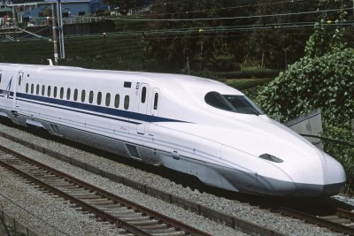
New Delhi, Jan 11 : Over three years after Prime Minister Narendra Modi laid the foundation stone of India’s first 508-km Mumbai-Ahmedabad High-Speed Rail corridor, the work on the second such rail corridor in the country — on the Delhi-Varanasi route — has gained momentum.
An aerial LiDAR survey of the 800-km Delhi-Varanasi High-Speed Rail (DVHSR) corridor has now been undertaken by the Railways as part of the project to connect Modi’s parliamentary constituency with the national capital through the bullet train.
On Sunday, the National High-Speed Rail Corporation Limited (NHSRCL) launched the LiDAR survey for the Delhi-Varanasi route from Uttar Pradesh’s Greater Noida, wherein a helicopter fitted with state-of-the-art aerial LiDAR and imagery sensors will capture data related to the ground survey along the proposed route.
NHSRCL spokesperson Sushma Gaur said that the light detection and ranging survey (LiDAR) technology helps gather all ground details and data in three to four months as against normal time period of 10-12 months through the traditional method.
She said that the ground survey is a crucial activity for any linear infrastructure project as it provides accurate details of the geographical areas around the proposed railroad alignment. “This technique uses a combination of laser and GPS data, flight parameters and actual photographs to give an accurate survey data,” she said.
Gaur said that the LiDAR survey will capture data of 300 metres (150 metres on either side) of the proposed railroad alignment area. Thereafter, three-dimensional (3D) topographical map of 50-metre corridor on either side of the proposed alignment on a scale of 1:2500 will be made available to design vertical and horizontal alignments, structures, location of stations and depots, land requirement for corridor, and identification of project-affected plots/structures, and right of way etc.
The NHSRCL official said that as per nine standard benchmarks set by the Survey of India in this field, 86 master and 350 secondary control points have been established. These coordinates are used to fly the chopper on the Delhi-Varanasi HSR corridor route.
“To provide clear pictures of structures, trees and other minute ground details, 60 megapixel cameras have been used in the LiDAR survey,” she said, adding that the NHSRCL has been entrusted to prepare the Detailed Project Reports for seven high-speed rail corridors.
Gaur said that the first draft of the DPR for the DVHSR corridor was submitted to the Railway Ministry on October 29, 2020. The corridor aims to connect the National Capital Territory (NCT) of Delhi with Mathura, Agra, Etawah, Lucknow, Raebareli, Prayagraj, Bhadohi, Varanasi, and Ayodhya.
The HSR route also proposes to connect the upcoming international airport at Jewar in Gautam Buddha Nagar district of Uttar Pradesh.
On September 14, 2017, Modi along with then Japanese counterpart Shinzo Abe had laid the foundation stone of the MAHSR corridor, popularly known as the ‘bullet train’ project.
On February 15, 2019, Modi had flagged off an indigenous ‘Train 18’, which was rechristened ‘Vande Bharat Express’ between Delhi and Varanasi, capable of running at 180 kmph.
Disclaimer: This story is auto-generated from IANS service.

