New Delhi: In a bid to regulate the drone usage in India, the Ministry of Civil Aviation has announced certain norms to ensure these do not pose a security problem.
It has been decided that no drones will be allowed around airports, near international border, Vijay Chowk in Delhi, State Secretariat Complex in state capitals, strategic locations/vital and military installations etc. All drones have to be registered and need a permit to operate. The regulations will be effective from December 1, 2018.
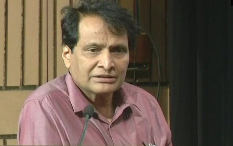
Announcing the Drone Regulations 1.0, Union Minister for Civil Aviation Suresh Prabhu said that these will enable safe, commercial usage of drones as they are intended to enable visual line-of-sight daytime-only and a maximum of 400 ft altitude operations. Air space has been partitioned into Red Zone (flying not permitted), Yellow Zone (controlled airspace), and Green Zone (automatic permission).
The Drone Task Force under the chairmanship of Minister of State Jayant Sinha will provide draft recommendations for Drone Regulations 2.0. These regulations will examine certification of safe and controlled operation of drone hardware and software, air space management through automated operations linked into overall airspace management framework, beyond visual-line-of-sight operations, contribution to establishing global standards, and suggestions for modifications of existing CARs and/or new CARs.
“Today we start an exciting new chapter in India’s aviation history by allowing commercial use of drones. I am sure that many new and exciting applications will emerge that will propel India’s economy forward. Our progressive regulations will encourage a vast Made in India drone industry,” Prabhu said.
Minister of State Jayant Sinha added that the government wants to establish a world-leading drone ecosystem and these regulations firmly place India among the global leaders. “Our policy roadmap will certainly provide a strong impetus to all players in the drone ecosystem. We hope that these initiatives will enable us to create a vibrant new industry,” Sinha said.
Drones have wide-ranging use for photography to agriculture, from infrastructure asset maintenance to insurance. Drones range in size from very small and those that can carry multiple kilograms of payload. As per regulations, there are five categories of Remotely Piloted Aircraft System (RPAS) commonly known as drones. They are categorised by weight, namely nano, micro, small, medium and large.
All RPAS except nano and those owned by NTRO, ARC and Central Intelligence Agencies will be required to do a one-time registration of their drones, pilots and owners. For every flight (except for the nano category), users will be required to seek permission to fly on a mobile app and an automated process will permit or deny the request instantly. To prevent unauthorised flights and to ensure public safety, any drone without a digital permit to fly will simply not be able to takeoff. The UTM operates as a traffic regulator in the drone airspace and coordinates closely with the defense and civilian air traffic controllers (ATCs) to ensure that drones remain on the approved flight paths.
Unmanned Aircraft Operator Permit (UAOP) is needed for RPA operators except for nano RPAS operating below 50 ft, micro RPAS operating below 200 ft, and those owned by NTRO, ARC and Central Intelligence Agencies.
The mandatory equipment required for operation of RPAS except nano category are (a) GNSS (GPS), (b) Return-To-Home (RTH), (c) Anti-collision light, (d) ID-Plate, (e) Flight controller with flight data logging capability, and (f) RF ID and SIM/ No-Permission No Take off (NPNT). As of now, RPAS operate within visual line of sight (VLoS), during day time only, and up to maximum 400 ft altitude.
For flying in controlled airspace, filing of flight plan and obtaining Air Defence Clearance (ADC) /Flight Information Centre (FIC) number will be necessary. Minimum manufacturing standards and training requirements of Remote Pilots of small and above categories of RPAS have been specified in the regulation.
According to Ministry of Civil Aviation, instead of simply digitising a paper-based process for registering and operating drones, India has formulated an all-digital process. The Digital Sky Platform is the first-of-its-kind national unmanned traffic management (UTM) platform that implements “no permission, no takeoff” (NPNT).
RPAS operations will be based on NPNT. The details including links for the digital sky platform shall be available in DGCA website from December 1, 2018. There will be different colour zones visible to the applicant while applying in the digital sky platform — Red Zone: flying not permitted, Yellow Zone (controlled airspace): permission required before flying, and Green Zone (uncontrolled airspace): automatic permission.
The enforcement actions are, (a) suspension/ cancellation of UIN/ UAOP in case of violation of regulatory provisions, (b) actions as per relevant Sections of the Aircraft Act 1934, or Aircraft Rules, or any statutory provisions, and (c) penalties as per applicable IPCs (such as 287, 336, 337, 338, or any relevant section of IPC).
[source_without_link]ANI[/source_without_link]