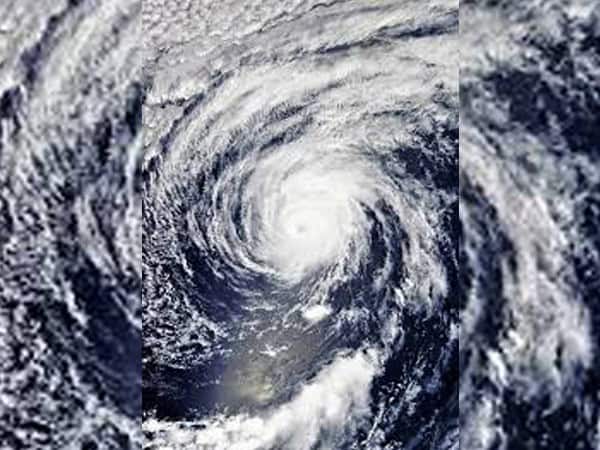
Visakhapatnam: Cyclonic storm ‘Fani’ in southeast Bay of Bengal is likely to turn severe on Monday and intensify further into a “very severe” cyclonic storm on Tuesday before heading towards north coastal Andhra and Odisha coast, the Indian Meteorological Department (IMD) said on Monday
While there is still no clarity as to where ‘Fani’ will make a landfall, officials indicated that it may hit the coast near north coastal Andhra on May 2 or 3.
According to the IMD, at 0530 hours on Monday, ‘Fani’ lay centred at about 880 km southeast of Chennai and 1050 km south-southeast of Machilipatnam (Andhra Pradesh).
“It is very likely to intensify into a severe cyclonic storm during the next 12 hours and into a very severe cyclonic storm during subsequent 24 hours. It is very likely to move northwestwards till May 1 evening and thereafter recurve north-northeastwards gradually,” said the IMD bulletin.
Under its impact, moderate rainfall at many places with heavy falls at isolated places is very likely over Kerala, and moderate rainfall at isolated places is likely over north coastal Tamil Nadu and south coastal Andhra Pradesh on Monday and Tuesday.
Gale wind speed is likely to increase to 145 kmph over Southwest Bay of Bengal from April 30 morning and 185 kmph over the north Tamil Nadu, Puducherry and south Andhra Pradesh coasts from May 1 evening, the IMD said.
The sea condition was very high over Southeast Bay of Bengal and neighbourhood. It is likely to become phenomenal over southwest and adjoining westcentral Bay of Bengal, off north Tamil Nadu, Puducherry and south Andhra Pradesh coasts from April 30 morning and over westcentral Bay of Bengal off the Andhra Pradesh coast during May 1-3, according to the IMD.
Fishermen have been advised not to venture into deep sea areas and those out in deep sea were advised return to the coast.
Distant warning number two has been hoisted at Visakhapatnam, Machilipatnam, Krishnapatnam and Nizampatnam ports.
[source_without_link]IANS[/source_without_link]

